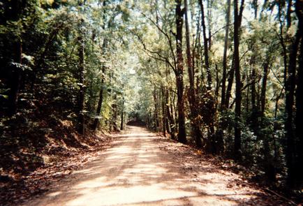
St. Francis Scenic Byway
The St. Francis Scenic Byway is located atop Crowley's Ridge for more than 21 miles and is part of the designated Great River Road. This winding route, located in the St. Francis National Forest between the cities of Marianna and Helena/West Helena follows Arkansas Highway 44 and Forest Service Road 1900. The St. Francis National Forest lies in the Delta region of southeastern Arkansas with its land divided between fertile bottom lands along the rivers and Crowley's Ridge. Crowley's Ridge runs north and south for 200 miles from southern Missouri down to the Mississippi River at Helena. Rising more than 200 feet above the surrounding delta farm lands, it is one of the state's most unusual features with an irregular surface of broad valleys, narrow gullies, steep slopes and hills. Loess, or wind- blown soils, blanket the ridge and are almost 60 feet deep in some areas. Three rivers, the L’Anguille, the St. Francis and the Mississippi, form the eastern boundary of the forest. The National Forest was established by presidential proclamation on November 8, 1960 and took its name from the St. Francis River, which forms the major portion of its eastern boundary. Significant landmarks along this road, aside from the forest, include views of the Mississippi and St. Francis River Valleys, and Bear Creek and Storm Creek Lakes. Both Marianna and Helena/West Helena were centers of commerce in the last century and contain many historical attractions and structures.
Navigating the Byway: The northern terminus to the byway begins at the boundary of the St. Francis National Forest, just outside of Marianna. It starts at the junction of US 79 and SR 1, and travels along SR 44 for five miles, until the road switches to FR 1900, and travels that way for 16.1 miles. The remaining portion of the road turns into State Highway 242, and the byway ends at Helena, a few miles outside of the forest.
