City of Las Vegas, Las Vegas Boulevard State Scenic Byway
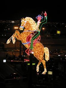
For being such a short stretch of roadway, Las Vegas Boulevard is one of the most highly traveled passenger and pedestrian routes in the country. Experience the evolution of Las Vegas beginning in the north at the Old Mormon Fort, which marks the first European settlement in Nevada, and ending near the Stratosphere, the tallest freestanding structure west of the Mississippi River. Viewed at night, the roadway is a work of art in itself due to the concentration of neon sign art that advertises everything from historic wedding chapels and motels to museums and other cultural amenities. Many of these original and restored neon signs are from the 1950s, the hey-day of neon sign art, and possess the charm and aesthetic appeal that make this section of Las Vegas Boulevard a must-see.
Getting to the Byway: Las Vegas McCarran International Airport, NV Exit the airport and drive north on Swenson Avenue. Stay in the left lanes, which turn into Paradise Road. Take Paradise Road north to Sahara Avenue. Turn left on Sahara and go one block to Las Vegas Boulevard, where the byway begins. Navigating the Byway: * The byway begins at the intersection of Washington Avenue and Las Vegas Boulevard. * Proceed south along Las Vegas Boulevard for 3.41 miles. * The byway ends at the intersection of Sahara Avenue and Las Vegas Boulevard.