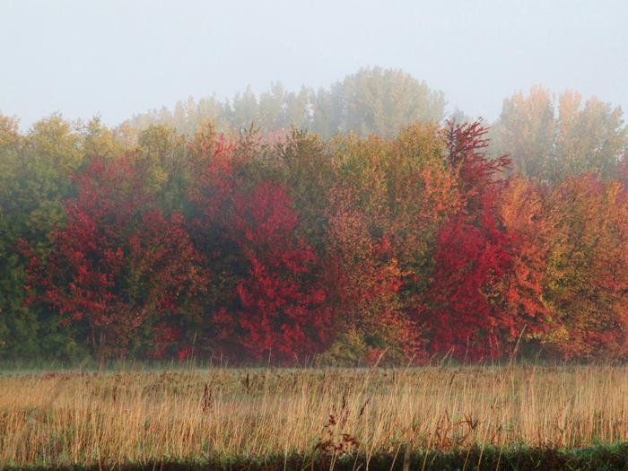
Missisquoi National Wildlife Refuge
The Missisquoi National Wildlife Refuge was established in 1943 to provide habitat for migratory birds. It consists of 6,729 acres, mostly wetland habitats, which support a variety of migratory birds and other wildlife. The 900 acre Maquam bog is designated as a Research Natural Area and the refuge was designated as an Important Bird Area in partnership with the Audubon Society. The Refuge in partnership with other publicly owned (State of Vermont) lands has been designated a Wetland of International Importance under the Ramsar Convention. A mosaic of wetland habitats offers opportunities to see and manage more than 200 species of birds. Fall migration features 20,000-25,000 migrating ducks. Nesting bald eagles, osprey, and many other waterbirds are present on the refuge. Please note that most public use is permitted only on designated trails or along the Missisquoi River. Please consult the refuge office for areas which are closed to public use to protect sensitive wildlife and habitat. The National Wildlife Refuge System, within the U.S. Fish and Wildlife Service, manages a national network of lands and waters set aside to conserve America's fish, wildlife, and plants. Learn more about the National Wildlife Refuge System.
Missisquoi National Wildlife Refuge headquarters office and visitor center is located about 6 miles northwest of Swanton, off Route 78, on Tabor Rd. From I89, take Exit 21 and turn west on Route 78. Follow Route 78 west for about 1.5 miles to the intersection of Route 78 and US Route 7 at the Swanton town square. Turn right and follow Route 78 west for another 6 miles and look for the West Swanton Apple Orchard on your right. Just past the orchard, turn left on Tabor Rd. Refuge headquarters is on the left. A refuge entrance sign is located at the corner of Route 78 and Tabor Rd. and is visible from Route 78. From the West, take Exit 42 off of I87 and turn right onto US Route 11 and follow for about 6 miles. Turn right onto US Route 2/Bridge Rd. and follow for about 7 miles. Turn left onto Vermont Route 78 and follow for 4.5 miles and look for Tabor Rd. on the right.

