Explore a diverse array of histories contained within El Camino Real de los Tejas’ 150-year life, including the Spanish struggle to missionize American Indian nations, the growth of cattle ranching in the Mexican period, and the movement for Texan independence and statehood.
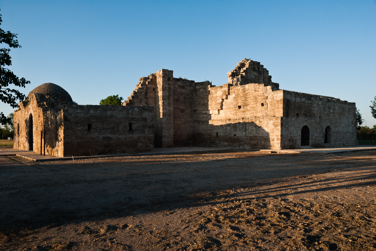
Mission San Bernardo ruins, Guerrero, Coahuila, Mexico
Construction of the mission church began in 1760 but was never completed. The outstanding ruins are virtually the only visible remains of the complex of missions established in the area. The purpose was to convert Coahuiltecan Indians to Catholicism.
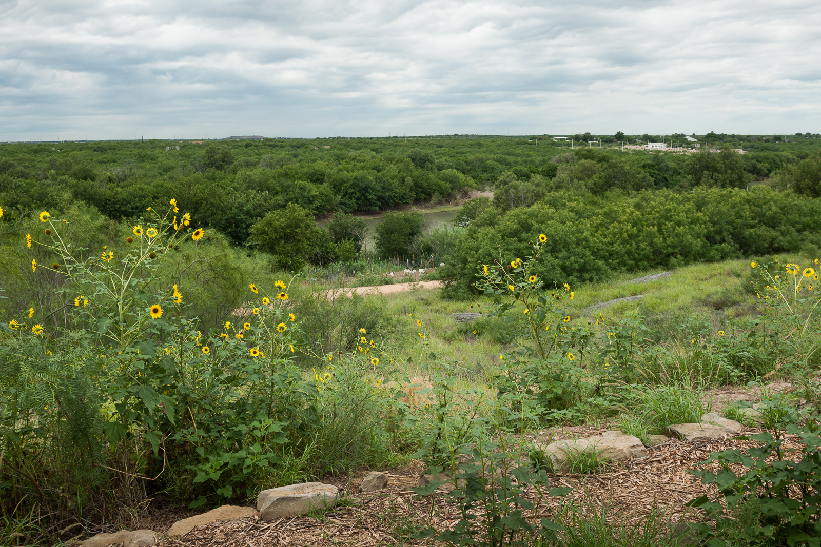
El Paso de Jacinto/Paso de los Indios, Webb County, Texas
Around 1746, explorer Jacinto de León discovered a ford that allowed safe passage across the Río Grande in this vicinity; it had probably been used for centuries by American Indians.
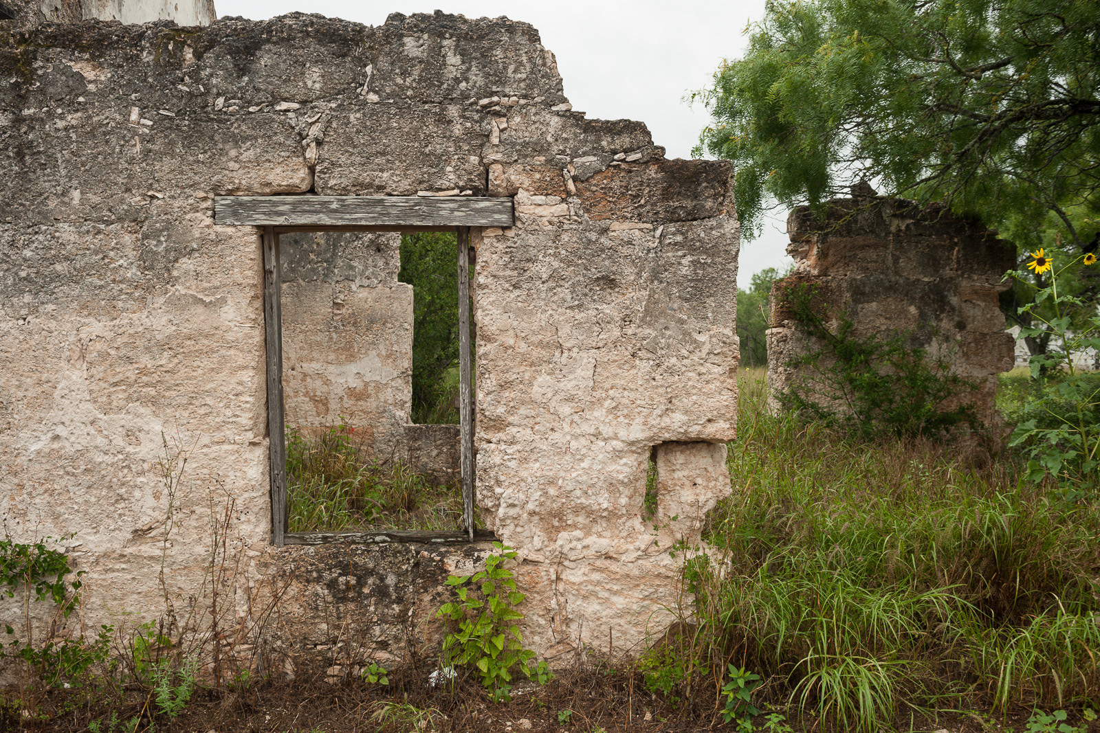
Rancho los Ojuelos, Webb County, Texas
This national historic district consists of 13 stone houses (several in ruins) constructed from hewn sandstone blocks, chinked and plastered, ranging from rectangular flat roofed Colonial style buildings to hip roofed two room structures. Post-1750s.
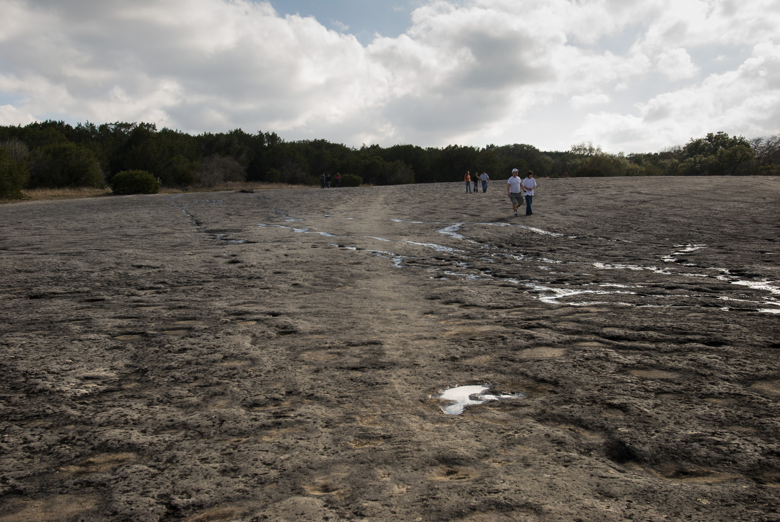
McKinney Falls State Park, Travis County, Texas
Recent research reveals that in 1716 the expedition of Domingo Ramón followed the left bank of Onion Creek along the western edge of McKinney Falls State Park to its junction with Williamson Creek. You can walk in rock indentations in the creek bed.
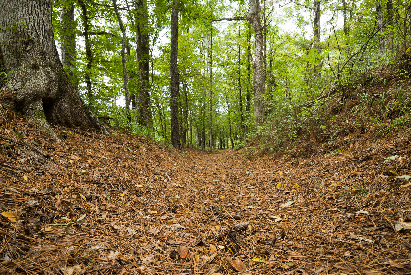
Mission Tejas State Park, Houston County, Texas
This 1.5-mile-long trail segment crosses an area that has remarkable visual integrity. The trail segment courses parallel to State Road 21 and at times crosses the highway.