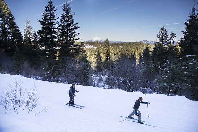
Buck Prairie Nordic Trail System
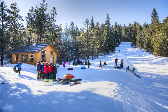
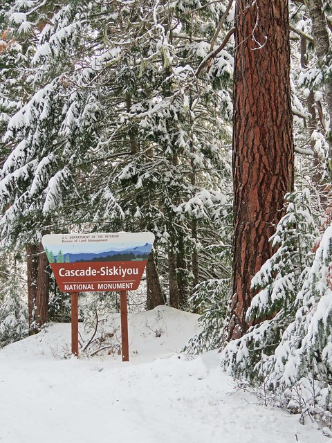
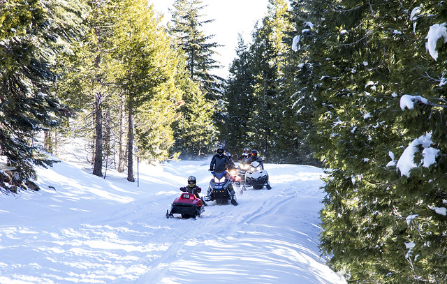
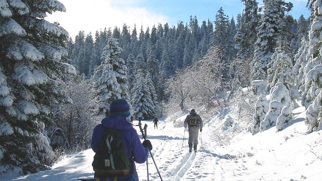
Nestled in Southern Oregon’s Cascade-Siskiyou National Monument, the Buck Prairie Nordic Trail System offers 32.8 miles of connected trails for cross-country skiing, snowshoeing and snowmobiling. Snow tubers and sledders will find additional adventures in gravity at the sled hill located in the Table Mountain Winter Play Area. On clear days, winter enthusiasts can enjoy views of the Rogue Valley and Siskiyou Mountains to the west, the Cascade Mountains to the east, Mt. McLaughlin to the north, and Mt. Shasta to the south. The marked trail system includes directional signs with trail names, lengths and difficulty ratings. Some ski trails are groomed by the Bureau of Land Management’s non-profit private partner, the Southern Oregon Nordic Club (SONC), whose volunteers provide hundreds of trail maintenance hours per year. Many other trails connecting the Buck Prairie Nordic Trail System to Hyatt Lake and Camper’s Cove are shared use trails (motorized and non-motorized use). The Buck Divide Trail connects with the Hyatt trail to connect Hyatt Lake Campground to the Buck Prairie Nordic trail system. Following the Dam Trail from the Hyatt Lake campground can also connect you with Camper’s Cove and eventually the Buck Prairie Ski trail system. Ski Trails Natasha's Web: Easy/Moderate Beginning at the Buck Prairie Sno-Park, the first mile of Natasha’s Web provides access to all ski trails and is excellent for learning. When the road splits, near the restroom, stay to the right and follow the road uphill. You can access additional trails or continue to follow Natasha’s Web through a large meadow eventually returning skiers to the Buck Prairie Trailhead on the lower road. Beginners may want to continue straight when the road splits near the restroom and then return the same way. Bullwinkle's Run: Easy Natasha’s Web trail enters a meadow at the end of the upper road. Bullwinkle’s Run cuts across an opening to the right and enters the forest. This short trail ends at a scenic overlook with views of the Rogue Valley. Rocky's Flight: Moderate Leave Natasha’s Web trail and continue past the junction with Bullwinkle’s Run. This short trail ends in a large meadow. At the lower end of the meadow, skiers may either continue on the Table Mountain Loop or return on Natasha’s Web. Peabody's Wayback: Difficult Peabody’s Wayback offers experienced skiers an alternative return to the Buck Prairie Trailhead. The trail begins just before the end of Bullwinkle’s Run. This steep trail makes several sharp switchbacks through trees and is not suitable for beginners. Fawn Hollow Loop: Moderate/Difficult From Buck Prairie Trailhead follow Natasha’s Web to where the road splits near the restroom, just past the restroom take a left. This trail is steep in a few sections. Table Mountain: Difficult From Buck Prairie Trailhead, in combination with Natasha’s Web, the Table Mtn. trail provides experienced skiers with a scenic 9.6 mile loop. The trail leaves Natasha’s Web in a meadow and enters the forest. At the trail’s high point, skiers enter a clearing with a view of Mt. Ashland. From this clearing, skiers descend a steep, narrow section of trail. Trail markers lead skiers to a shared use (both motorized and non-motorized) trail (Table Mountain Loop). Turn left and follow the road back to the trailhead. Ryan's Trail: Easy A lost trail crew out working on the Table Mtn. Loop trail resulted in this trail. It is a short cut for those looking to take a little length off of their excursion on the Table Mtn. Loop or another opportunity for those looking for additional ski trails. Dog Friendly Trails Homer's Hide Away: Moderate Homer’s Hide Away offers the ability to complete a loop trail with your best “animal” friend. The trail name memorializes a long time Park Ranger's best buddy. Like Homer himself who was known for his zeal for adventure, this trail passes along the edge of a forested area and stream plus an open meadow, assuring you of your own adventure. Access is from Buck Prairie 2 – Fido’s Trailhead. Fido's Run: Moderate Fido’s Run is a fun out and back with a short loop near the end of the trail. The trail is fairly flat except for a short downhill or uphill portion of the loop section, depending on which way you go on this loop section of the trail. Beginners may wish to stay to the left when the trail splits and tackle this loop portion of the trail going uphill. Ice's Escape: Easy Beginning at the Buck Prairie – Fido’s Trailhead, Ice’s Escape is named after a legendary white German Sheppard that would “head for the hills” as soon as the car door was opened. Ice’s Escape allows skiers, snowshoers, and their dogs to “head for the hills” and access Fido’s Run and Homers Hide Away from the Buck Prairie 2– Fido’s Trailhead. Table Mountain Winter Play Trailhead From the Table Mountain Winter Play Area the Buck Prairie System is accessed by a shared use (open to both motorized and nonmotorized) trails originating in the sledding hill parking area. Look for a small kiosk in the southeastern portion of the parking area with a locator map showing where the trails are located. Know Before You Go: Buck Prairie I and II Trailheads are non-motorized Sno-Parks and Hyatt Lake Campground Trailhead serves both motorized and non-motorized shared use trails. Dogs are welcome on the 3 miles of canine-friendly trails at Buck Prairie II Trailhead- also known informally as “Fido’s Run Trailhead” as well as on shared use trails. Please keep your dog off the trails originating at Buck Prairie I Trailhead. Point of Interest: Fans of the 1960s-era Adventures of Rocky and Bullwinkle animated television series might find humor -and adventure- on the show’s theme-named trails at Buck Prairie Nordic Trail System.
Buck Prairie I Trailhead: From Ashland, Oregon: On Interstate 5, take the south Ashland exit #14. Take Highway 66 for approximately .5 miles to the Dead Indian Memorial Highway. Turn left on Dead Indian Memorial Highway and follow it to the summit at mile post 13. The parking area is on the right. Do not park in the chain up area across the road from the Sno-Park. Buck Prairie II Trailhead (Fido’s Run Trailhead): From Buck Prairie I Trailhead: Continuing 2¾ miles (NE) further on Dead Indian Memorial Highway. The trailhead is on the right (south) side of the road. Hyatt Lake Campground Trailhead: From Ashland, Oregon: On Interstate 5, take the south Ashland exit #14. Take Highway 66 for approximately 17 miles until you reach the Green Springs Inn. Turn left onto East Hyatt Lake Rd. and continue for approximately 3 miles until you reach the entrance to the Hyatt Lake Campground on your right. A plowed parking area at the campground entrance is unmarked.
