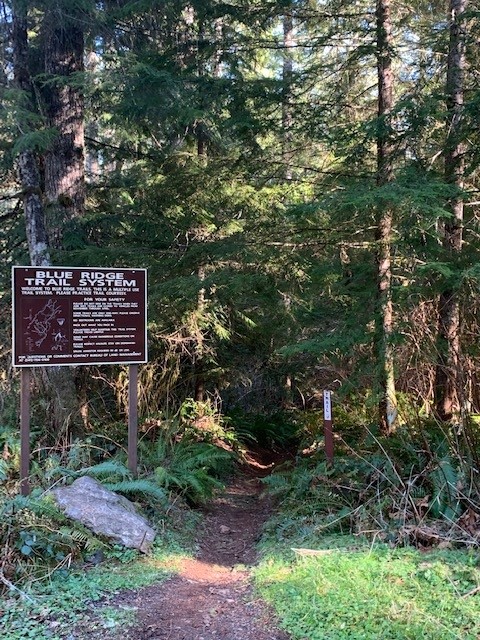
Blue Ridge Trail System
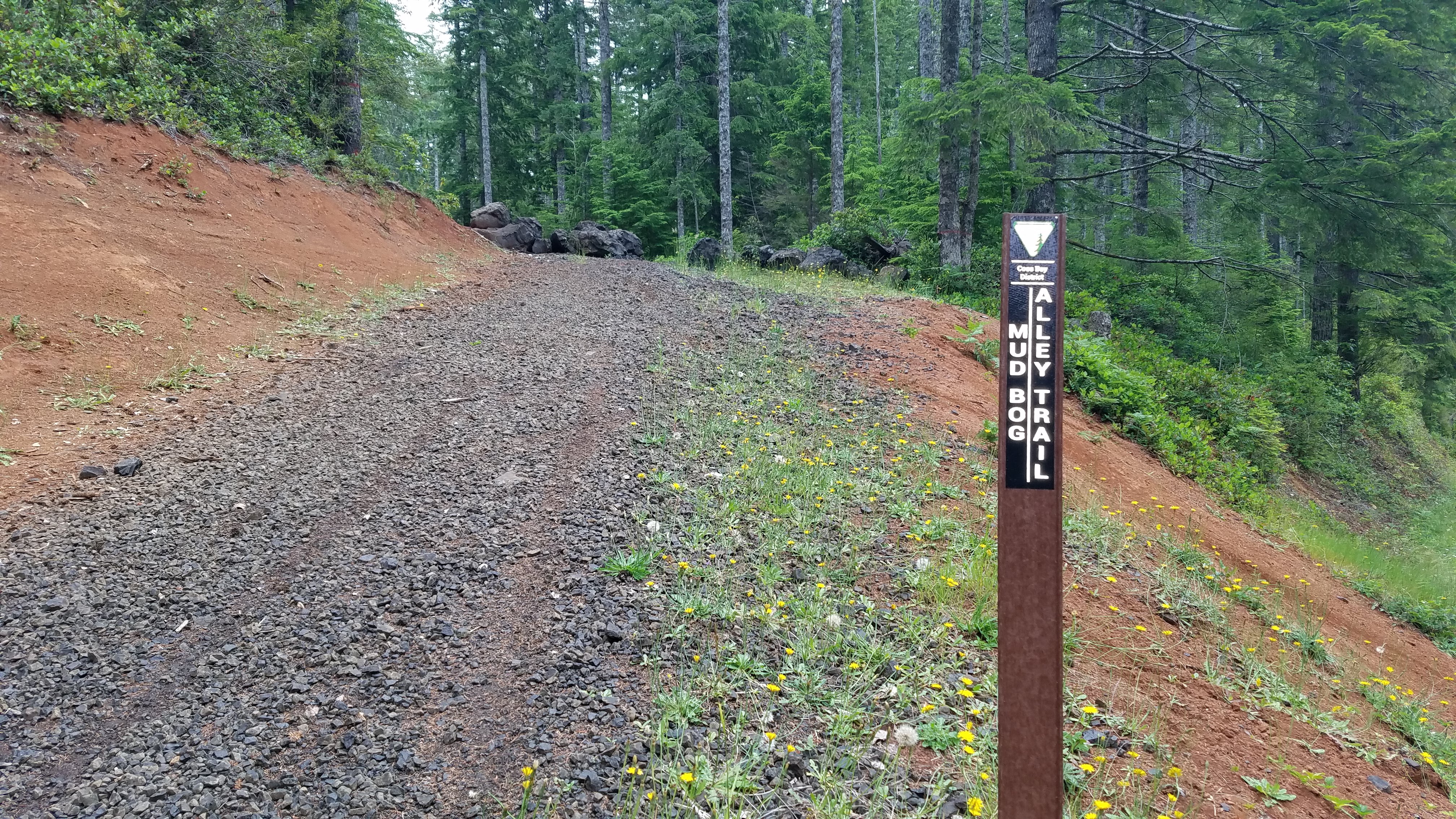
Ten miles of Easiest to More Difficult trails and gravel roads open to Class III (motorcycles) vehicles with Oregon all-terrain vehicle permits and all non-motorized modes of travel. Limited to designated roads and trails. Riding conditions are best in fall and spring. Areas may be snowed out in the winter months. Trails get dusty during the summer months and may be closed due to fire restrictions. Please avoid using the trails when wet (October – June) to prevent unnecessary damage and erosion to the trail system.
From Coos Bay, Oregon travel south on Highway 101. Turn left onto Coos-Sumner Lane and continue for 7.6 miles. Turn left onto Blue Ridge Road and continue for 2.4 miles then turn right onto road #26-12-35.0. Travel .1 mile and turn right onto road #26-12-35-1. After .9 mile turn left onto road #26-12-35.4. Continue .3 mile to the Blue Ridge Trail System parking area.